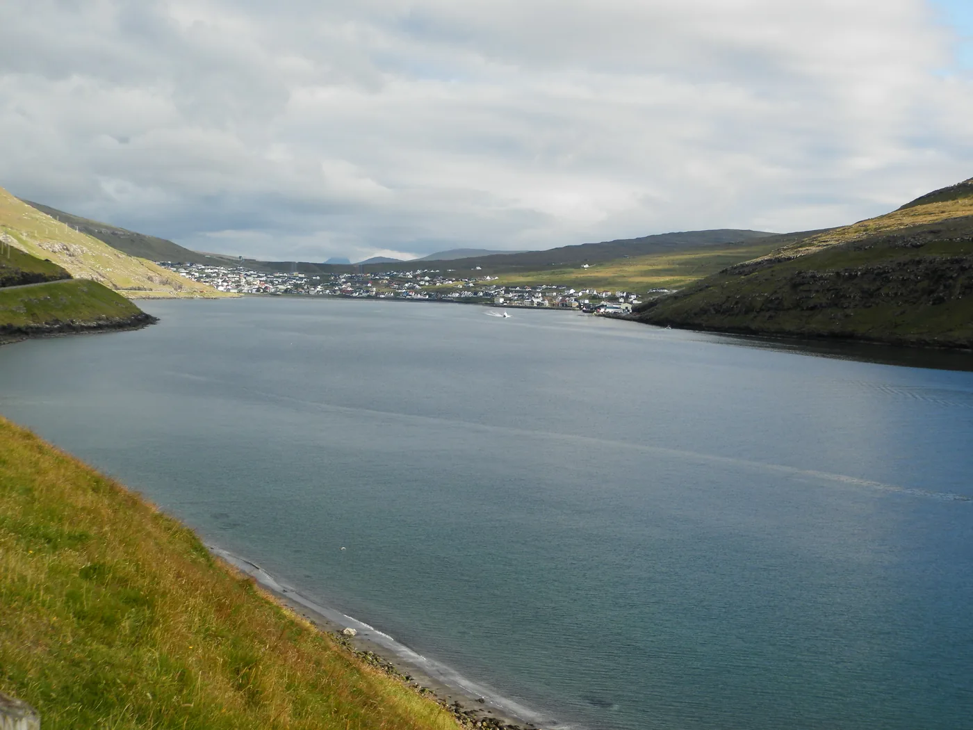
Vágar port village · Vágar
How to get to Sørvágur
The end of the airport bus and the start of the Mykines crossing.
Last checked: 13 October 2026
Photo: EileenSanda, CC BY-SA 4.0, via Wikimedia Commons
- What it is
- Vágar port village
- Island
- Vágar
- By bus
- Scheduled service
- Open in OpenStreetMap
- Open Sørvágur on OpenStreetMap 62.0716°N, 7.3072°W
Getting there
Arriving from each starting point
The short answer
Scheduled service
Sørvágur is the published terminus of route 300 and a calling point on weekday route 350.
From Vágar Airport: Bus 300 continues west from the airport to Sørvágur — a short leg at the end of the airport route.
Source: Strandfaraskip LandsinsRoute 300 Tórshavn – Airport – SørvágurRoute 350 Tórshavn – Vága Airport – Sørvágur/Bø
From each starting point
-
From Vágar Airport
Bus 300 continues west from the airport to Sørvágur — a short leg at the end of the airport route.
-
From Tórshavn
Bus 300 the whole way, via the airport.
The part people forget
Getting back from Sørvágur
Route 300 is the reliable way back east and is not published as weekday-only, which makes Sørvágur a safer weekend base than anywhere further west. Still read the return column: departures are spread through the day rather than frequent.
Checked – 2026 Sources: Strandfaraskip Landsins
By bus
What the operator publishes
- Route 300 runs from Tórshavn via Vágar Airport and ends here.
- Route 350 calls here on weekdays and continues to Bøur.
- The route 350 timetable notes one trip arriving at or departing from Bakki Sørvágur, next to the Mykines ferry.
Checked – 2026 Sources: Strandfaraskip Landsins
No signal in the valley? The timetable is already on your phone
Faroe Bus for Android plans SSL bus and ferry trips by place and keeps the timetables on your phone when the signal drops — in the valleys and on the trails, where the tourist board warns coverage can be limited, the bus home is still one tap away.

Once you are there
Sørvágur in brief
Sørvágur is where route 300 finishes and where the Mykines ferry leaves from. For a visitor without a car it is one of the most useful places in the islands to understand.
Sørvágur at the head of its fjord. Route 300 ends here all week, which makes it the mainland end of the Mykines crossing and the last all-week stop on Vágar.
-
The Mykines ferry berth
Seasonal sailings to Mykines leave from here. The crossing is 45 minutes and is not covered by the Tourist Travel Card.
-
Tindhólmur views
The sea stack off Bøur is visible from the road west out of the village.
-
A workable base without a car
Being at the end of an all-week bus route and next to a ferry berth makes Sørvágur unusually practical for a car-free trip.
Good to know
Good to know
-
If you are heading for Mykines, check the ferry season windows before booking accommodation here.
Experiences
Experiences around Sørvágur
Shown after the transport answer, not before it.
Some links on this page are affiliate links. If you book through one we may earn a commission, at no extra cost to you. It never changes what we tell you about the buses and ferries, and no operator pays for a place on this site.
Next
Nearby destinations
-
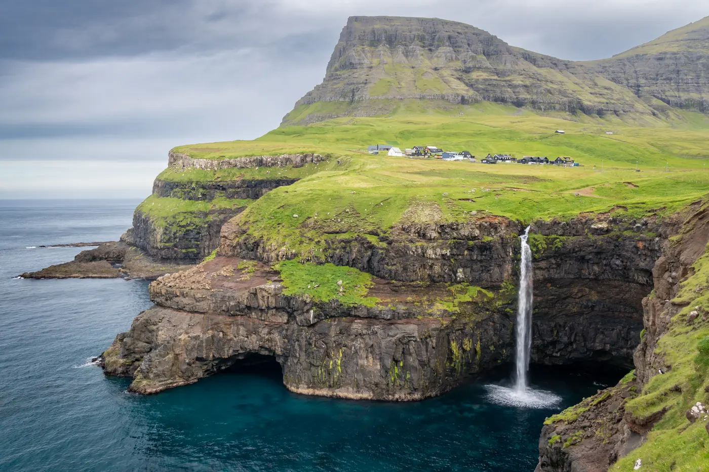
Photo: Ekrem Canli, CC BY-SA 4.0, via Wikimedia Commons Waterfall village, western Vágar
Gásadalur
The waterfall everyone photographs — and the hardest easy place to reach by bus.
No bus stop here
-
Photo: Pasztilla aka Attila Terbócs, CC BY-SA 4.0, via Wikimedia Commons -
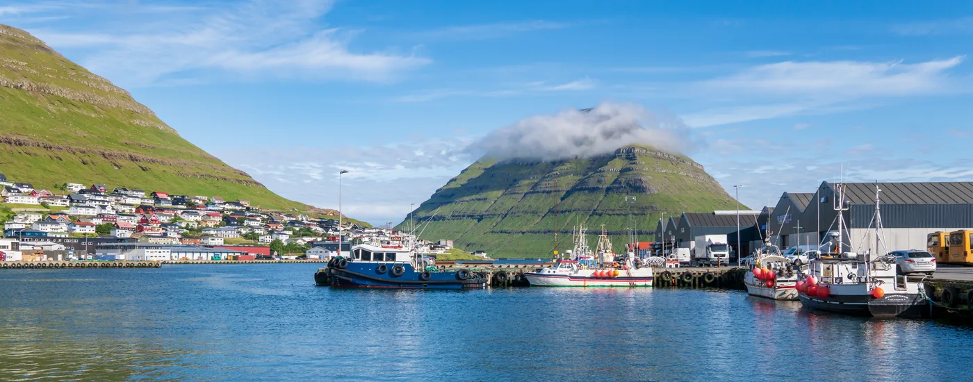
Photo: Ekrem Canli, CC BY-SA 4.0, via Wikimedia Commons Second town, northern hub
Klaksvík
The northern interchange: buses to Viðareiði, ferries to Kalsoy.
Scheduled service
Next
Keep planning
Guide checked · Suggest a correction
Sources for this page
The sources this page cites, each with the date we checked it. Two dates mean the facts that cite it were checked on different days.